


 Live Chat
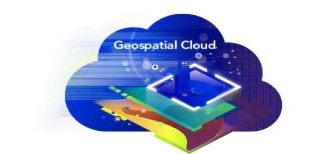
Table of Content
In the rising demand for virtualization, spatial analysis, and mapping, GIS cloud hosting is one of the most powerful tools that can be used. However, to perform some advanced tasks, access more data sources, and improve GIS workflows, you might need to make use of other tools and platforms.
In this article, I will let you know how to use GIS cloud hosting in India in conjunction with some of the most well-liked and beneficial applications and frameworks, such as Python, R, and ArcGIS Online.
1. GIS and Python:
Geographical information systems (GIS) can be implemented using Python, a general-purpose computer language. Python has a wide range of communication options with GIS software, including scripting, automation, modification, and extension.
Furthermore, Python can be used to create custom tools and interfaces, automate tedious tasks, and increase the functionality of existing GIS cloud hosting. Popular Python GIS libraries and modules include ArcPy, PyQGIS, GDAL, Shapely, and GeoPandas. Therefore, to use Python with GIS software, install the necessary Python version and packages, modify the environment variables, and write or run the code in an editor or a console.
2. R and GIS:
For analysis, virtualization, and simulation of data, R is one of the statistical programming languages to use. Besides, R can be used in GIS applications for geographic machine learning, spatial statistics, geostatistics, and spatial econometrics. In R, you can import and export spatial data, call GIS functions, and embed R scripts.
Well, these are just a few of the ways that R may interact with GIS applications. sp, sf, raster, rgdal, maptools, and rgeos are some of the R packages and functions for GIS. Therefore, to use R with GIS applications, install the necessary R version and packages, load the libraries, and create or run the code in an editor or a console.
3. ArcGIS Online and GIS:
A cloud-based platform called ArcGIS Online, allows users to create, share, and access GIS content and services. Furthermore, ArcGIS Online can be used in conjunction with GIS software in a number of ways, including hosting and managing geographic data, publishing and consuming web maps and layers, and employing online analytical and collaboration tools.
Some of the most frequently used ArcGIS Online GIS features and components include the web map viewer, feature layers, map services, geoprocessing services, and web app builder. Therefore, to use ArcGIS Online with GIS applications, you must have an account with the platform, sign in using a web browser or desktop application, and use the platform.
Leverage of Integration:
Numerous advantages can result from integrating GIS cloud hosting software with other programs and platforms, including improved workflow efficiency, adaptability, and scalability, access to more data sources and formats, and the ability to perform more intricate and sophisticated tasks.
So, you can take advantage of each tool’s advantages and skills, fill in its weaknesses and gaps, or develop fresh, original approaches to your GIS issues by combining GIS software with other programs and platforms.
Challenges to Face in Integration:
When integrating GIS cloud hosting in India with other programs and platforms, issues with compatibility, learning curves, and security risks may appear. For instance, you could have compatibility issues while working with different program versions, formats, or data standards. Although, you might need to learn new techniques, tools, or languages to effectively use the integrated applications or platforms. Additionally, security risks may exist when sharing or storing private or sensitive information online or on systems owned by third parties.
Best Approaches for Integration:
Testing and debugging, planning, documenting and commenting, and updating and maintaining are a few best practices that should be followed in order to get around obstacles and leverage the advantages of integrating GIS cloud hosting software with other programs and platforms. For instance, you should schedule your integration objectives, needs, and resources before choosing the platforms or software that will work best for you.
Additionally, you should thoroughly and frequently test and debug your integration code or process, as well as clearly and consistently describe and comment on your code or process. In addition, you should regularly and securely update and maintain your platforms or software. And also, keep an eye out for any changes or updates that can impair your integration.
Final Thought:
While wrapping up, I hope this blog aids you in integrating GIS cloud hosting with other programs and systems. Well, the integration of GIS offers a number of benefits and opportunities for better spatial analysis and mapping. By combining GIS with Python, R, and ArcGIS Online, users may enhance their workflows, gain access to new data sources, and carry out more challenging tasks.
However, during integration, challenges like compatibility issues, learning curves, and security vulnerabilities could appear. It is important to adhere to best practices in testing, creating, documenting, and maintaining interrelated systems in order to resolve these issues. By carefully integrating the benefits of each tool, users may produce GIS solutions that are more effective and efficient.